BeeDrone field scan
per hectare, one visit
€~15
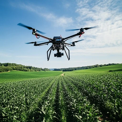
BeeDrone lands and plugs sensors directly into the ground — measuring pH, moisture, and nutrients from the roots up. No manual labour. No guesswork.
The early adopter discount has expired.
BeeDrone field scan
per hectare, one visit
BeeDrone lands on your field and plugs sensors straight into the ground — no flyover guessing, no lab delays.
pH, moisture, and nutrient readings flow instantly to the BeeHive platform the moment BeeDrone touches down.
Every farmer receives a detailed point-by-point soil map, showing exactly what each zone of the field needs.
We are more than a drone — DataPlanet is a soil data factory powering insurance companies and commodity traders.
BeeDrone saved my potato harvest. I found a waterlogged patch before it wiped out my entire yield — something I never would have caught with a visual inspection.
We integrated DataPlanet's soil data into our risk models. The point-by-point field maps are the most granular agricultural data we've ever worked with.
We used to spend days driving soil samples to the lab. BeeDrone does the same job in hours, and the BeeHive platform makes sense of the results instantly.
As a commodity trader, access to live soil intelligence changes how we price risk. DataPlanet is exactly the data factory Romanian agriculture has been missing.